
Kelaniya University Undertakes Aerial Mapping of Campus
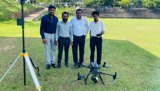
The University of Kelaniya’s Visual Management Committee completed a drone-based survey, marking the first phase of the institution’s campus mapping and visual management project. The aerial survey covered key locations, including the main Dalugama premises, the Faculty of Medicine in Ragama, and the Faculty of Computing and Technology at Bulugaha Junction. High-resolution imagery and LiDAR … Kelaniya University Undertakes Aerial Mapping of Campus